Soil knowledge and understanding of soil conditions are becoming increasingly crucial. At Medusa Explorations, we explore the unexplored applications of nuclear physics in the world of geoscience by developing practical tools to understand the soil beneath our feet.
Under the name Medusa Geoservices, we deliver detailed soil information to clients ranging from governments and research institutes to agriculture and spatial development. “For example, climate adaptation is a pressing issue,” says Han Limburg. “Improved water management and landscape design depend on a deep understanding of soil processes. That is exactly where we make the difference.”
A second branch of Medusa focuses on the design and construction of measuring equipment and sensors. Under the name Medusa Radiometrics, instruments engineered in Groningen are shipped all over the world. “With both divisions, we combine scientific insight and technical capability to tackle any soil research challenge,” Limburg explains. “Our mission goes far beyond collecting data, it’s about transforming measurements into understanding.” Ronald Koomans adds: “We work in multidisciplinary teams, combining physics, data science and earth science. That’s how we create knowledge that works, and advice that truly helps our clients move forward.”
In the early days we used to dig a hole in the ground to understand the subsurface, today we have modern technologies to map the soil. Medusa Explorations was founded 25 years ago as a spin-off from the University of Groningen, and that pioneering spirit has never left us. Our first job was on a small research boat on the river De Tjonger”, Limburg recalls. “That sense of curiosity still defines our work.” In our R&D driven company, science meets creativity. “By developing new methods for Dutch soil questions, we often uncover applications that prove valuable across the world. For us, science and adventure go hand in hand.”
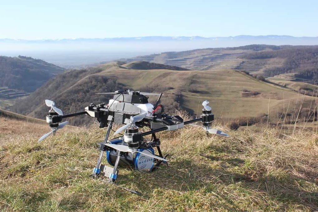
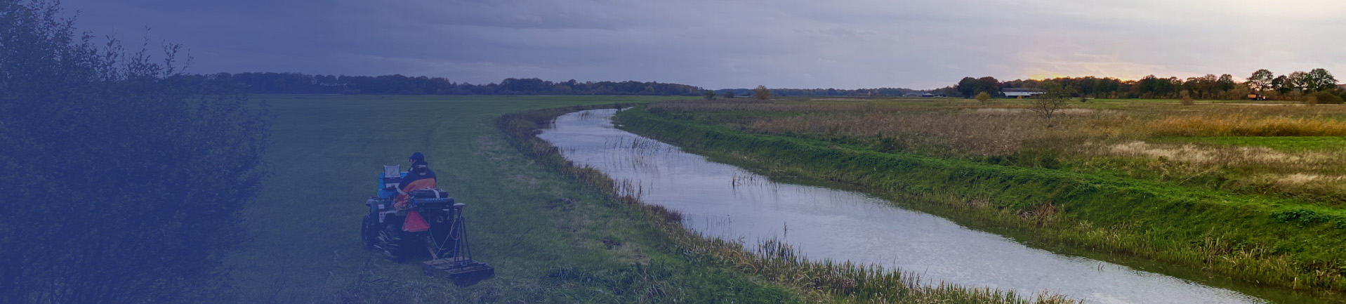
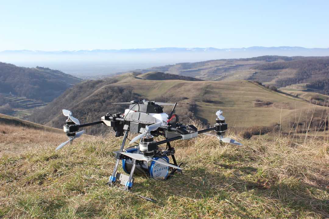
Radioactivity plays a central role in our work. “Natural radioactivity occurs in small but measurable amounts in every soil,” Limburg explains. “By detecting those signals, we can map variations in soil composition and texture.” Techniques such as gamma-ray spectrometry, and other geophysical tools have replaced the traditional shovel. Koomans: “We use these tools to produce high-resolution soil maps, both on land and on water. They give our clients a complete, data-driven view of what’s below the surface, reducing uncertainty and risk in their projects.”
The question of how to retain water longer in the ground is becoming increasingly urgent. “The composition of the soil largely determines whether water can be stored or drains away,” says Koomans. “Detailed soil information enables smart, adaptive solutions to the challenges of climate change.” Our mission is to make that information accessible, reliable and easy to use so that climate adaptation becomes not only possible, but measurable.
What began in the Netherlands now resonates globally. The proven success of our instruments and methods has led to growing demand from abroad. “The Netherlands is at the forefront of precision agriculture and soil research,” Koomans explains. “The same technology that helps Dutch farmers optimise their fields now supports large-scale land management projects around the world.” Through Medusa Radiometrics, our sensors, built in Groningen but used worldwide, bring the power of nuclear physics to the surface of real-world problems.
We want to understand Earth better. Not as an abstract concept, but as the foundation for all human activity. “At Medusa Explorations, we unite physics and fieldwork,” Limburg concludes. “That combination makes us unique. We deliver soil knowledge that is both scientifically sound and directly applicable. Because only when you truly understand the ground you stand on, you can make decisions that shape a sustainable future.”

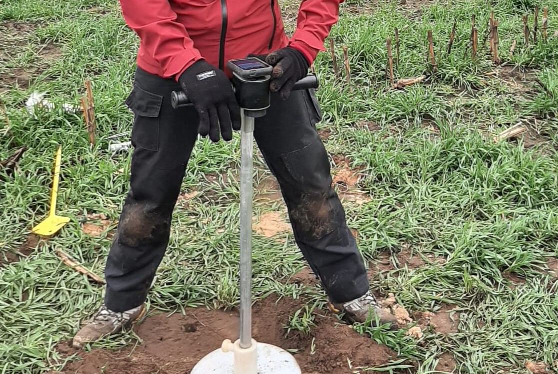
With RhoC, the new soil density meter, soil density can now be measured in a fraction of the time.
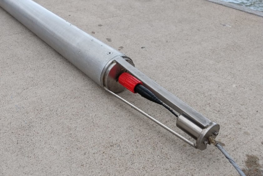
Medusa gamma spectrometers are used worldwide for mapping soil and waterbeds. Read more here.
- Consultancy
- Blog
- About us
- Contact