About us
We believe that earth can be understood better.
What exactly lies beneath our feet is often unclear. Only by combining existing knowledge with innovative methods, or by developing new methods, we can truly understand earth. Both as our home planet and as the ground that supports us.
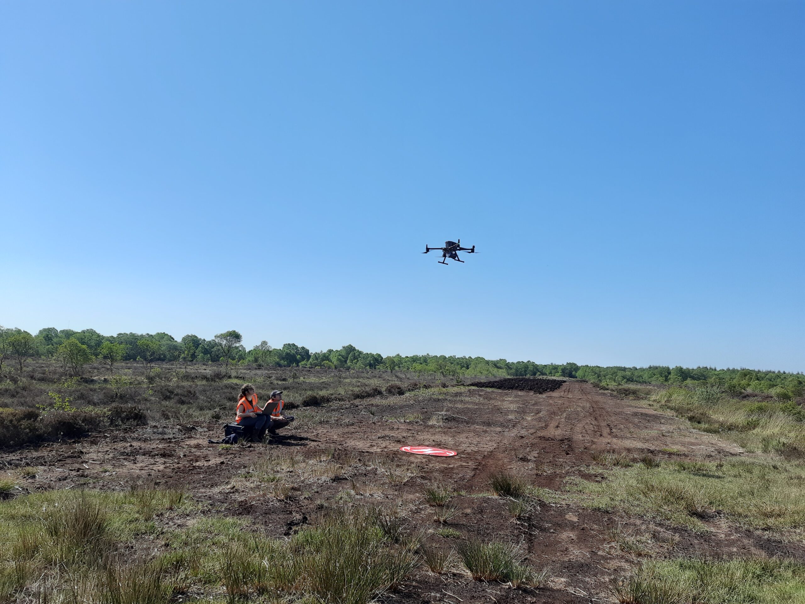
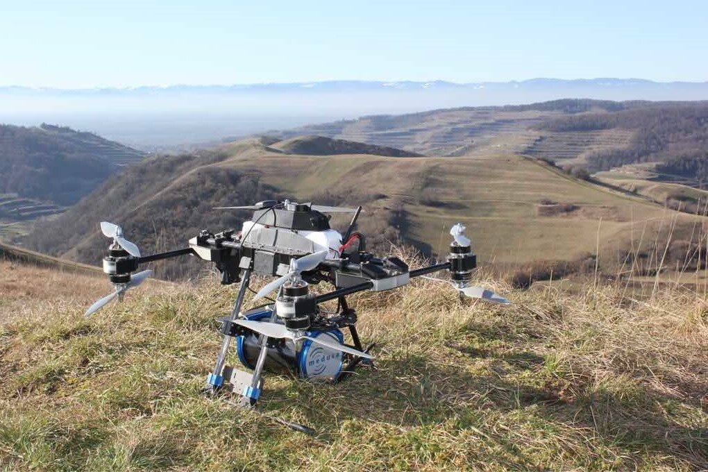
Our experts establish a new benchmark in soil information through the development and application of cutting-edge techniques. Drawing upon our expertise in geology, soil science, and sensor technology, we advise on how to efficiently and comprehensively map the subsurface.
We provide detailed soil information across various sectors, with a focus on climate adaptation where soil information enhances water management and landscape design. With our geophysical approach, we provide comprehensive soil maps, offering more information, deeper insights, and reduced risks.
Our experts understand how data can be interpreted and utilized, but also recognize when the knowledge of an end user is necessary. Therefore, we prefer collaborative analysis involving both our team and the end user. We believe that our complementary areas of expertise lead to exceptional outcomes.
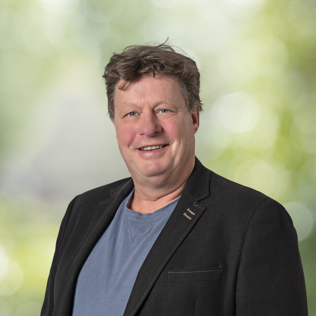
Han
Han is an expert in geophysical sensor technology and co-founder of Medusa Explorations. His work focuses on developing innovative gamma-ray survey systems, utilizing his background in physics and expertise in technical development. Han collaborates extensively on R&D projects, enhancing tools for environmental and agricultural applications. His efforts aim to make geophysical sensors smaller, more robust, and user-friendly, adapting them for various geophysical and environmental monitoring uses.
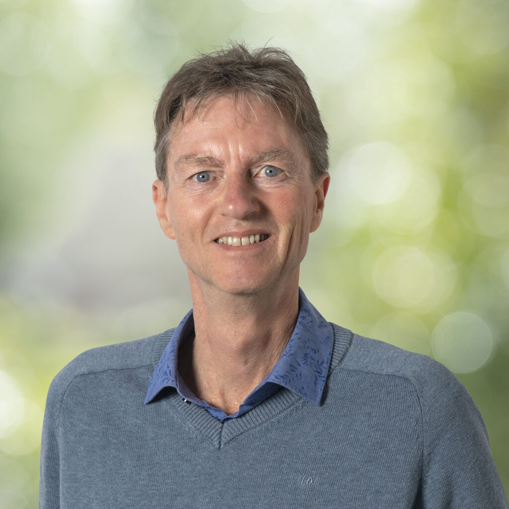
Harm
Harm’s expertise lies in geology and soil science, focusing on interpreting data from GPR (Ground Penetrating Radar) sensors. He skillfully integrates information from geophysical sensors with geological models to effectively construct a model of the subsoil.
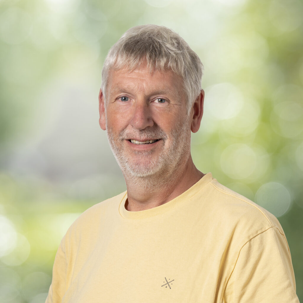
Koos
Koos, a geologist, applies his expertise in geophysical methods to explore soil structures and coastal dynamics. His deep passion for regional geology serves him well as a Wadden guide and a member of a non-profit historical association promoting multidisciplinary research of the natural development and cultural history of the Wadden Sea area. At Medusa Explorations, he enjoys diverse projects that utilize geological models to interpret complex geophysical data, enhancing environmental and geological understanding.
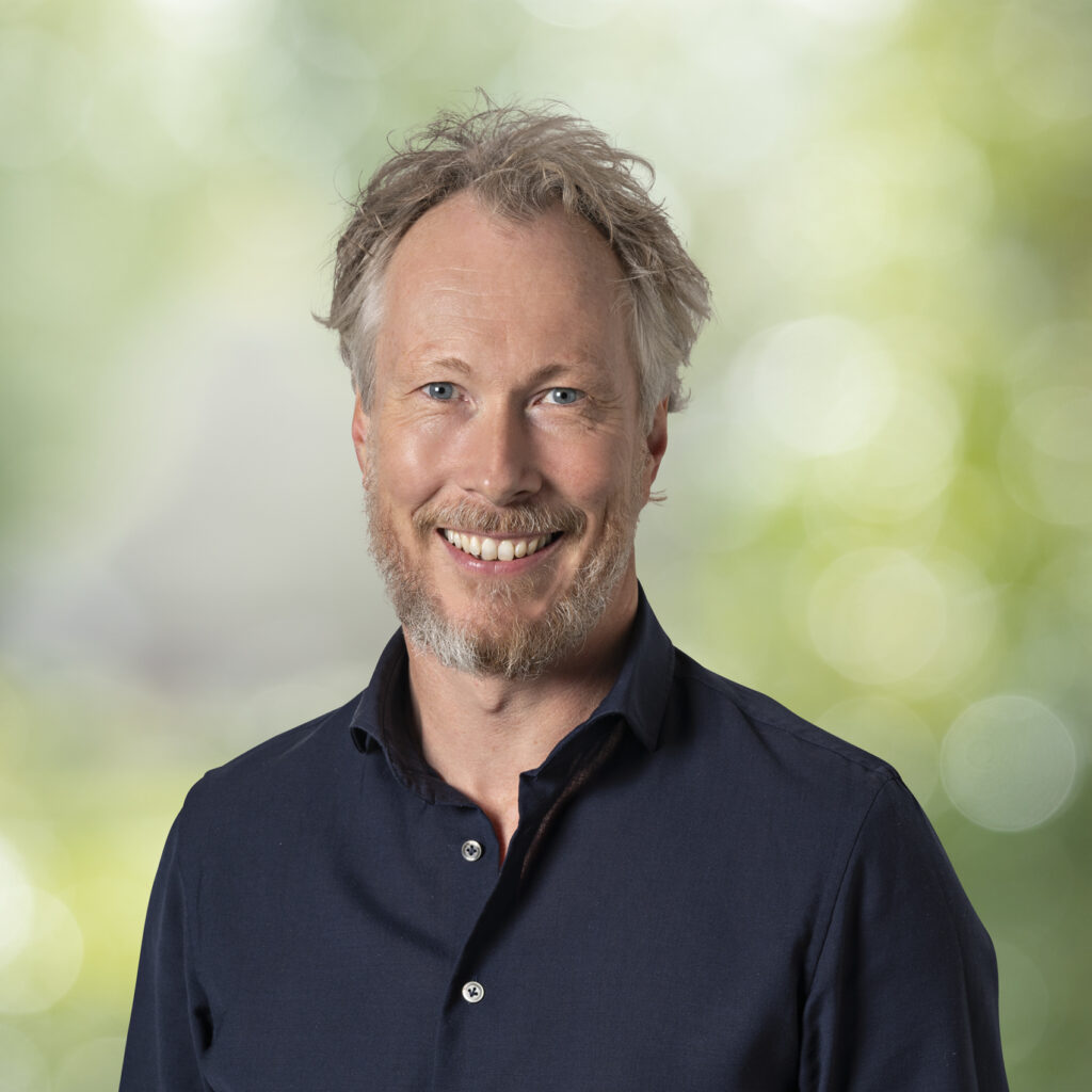
Ronald
As a geologist, Ronald is driven by the challenge of making sensor technology practical for soil investigation, environmental studies, and geology. As co-founder of Medusa Explorations, he provides expert advice and collaborates with a dedicated team on projects that aim to visualize soil conditions as efficiently as possible. He focuses on developing applications that bridge the gap between geophysics and soil science, enhancing the geo-market’s adoption of these innovative technologies.
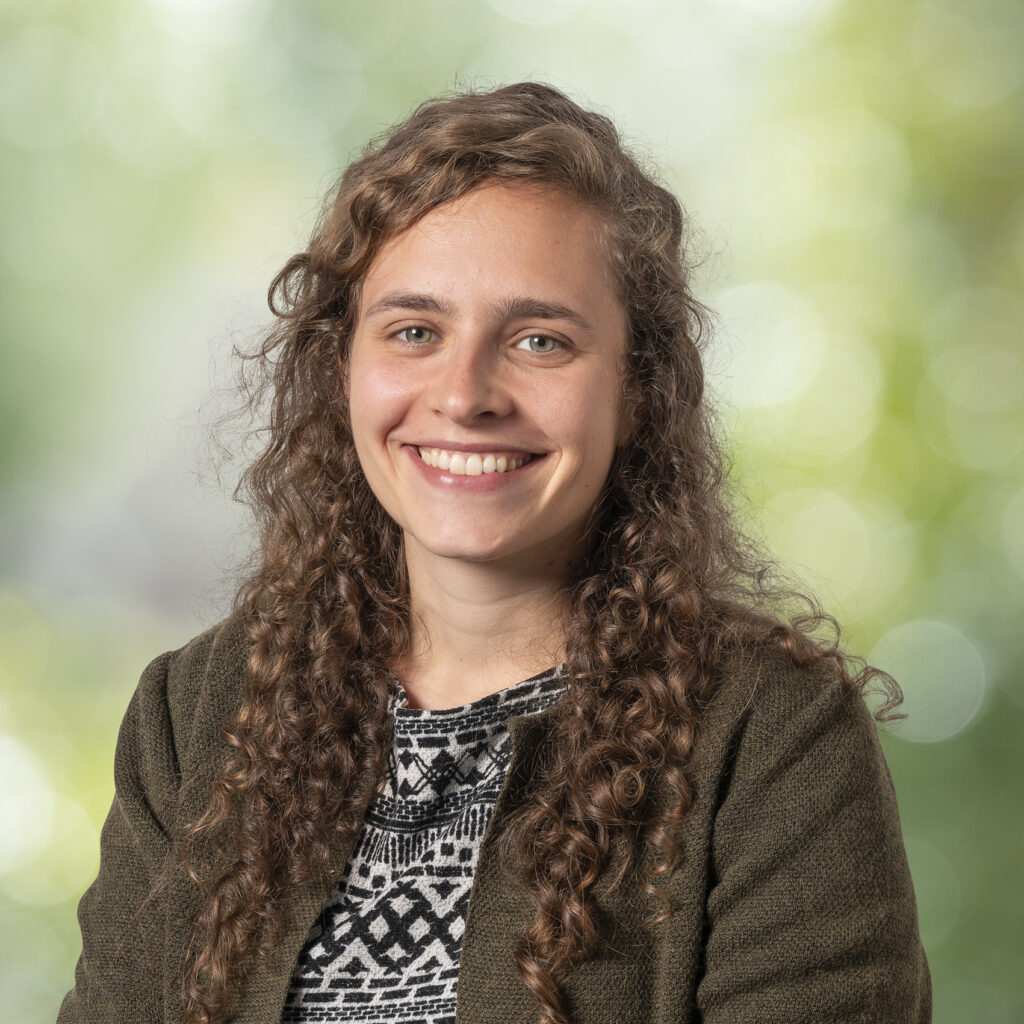
Silke
With her background in environmental science, Silke is fascinated by soil systems and processes. Forming an overall picture is important to her, and she gets a thrill out of visualizing them as accurately as possible. Recently, she has been intrigued by peatlands. She believes geophysics has much to offer in getting an in-depth picture of the problems surrounding them and hopes to make meaningful advances to combat their decay.
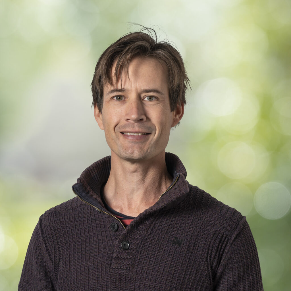
Wouter
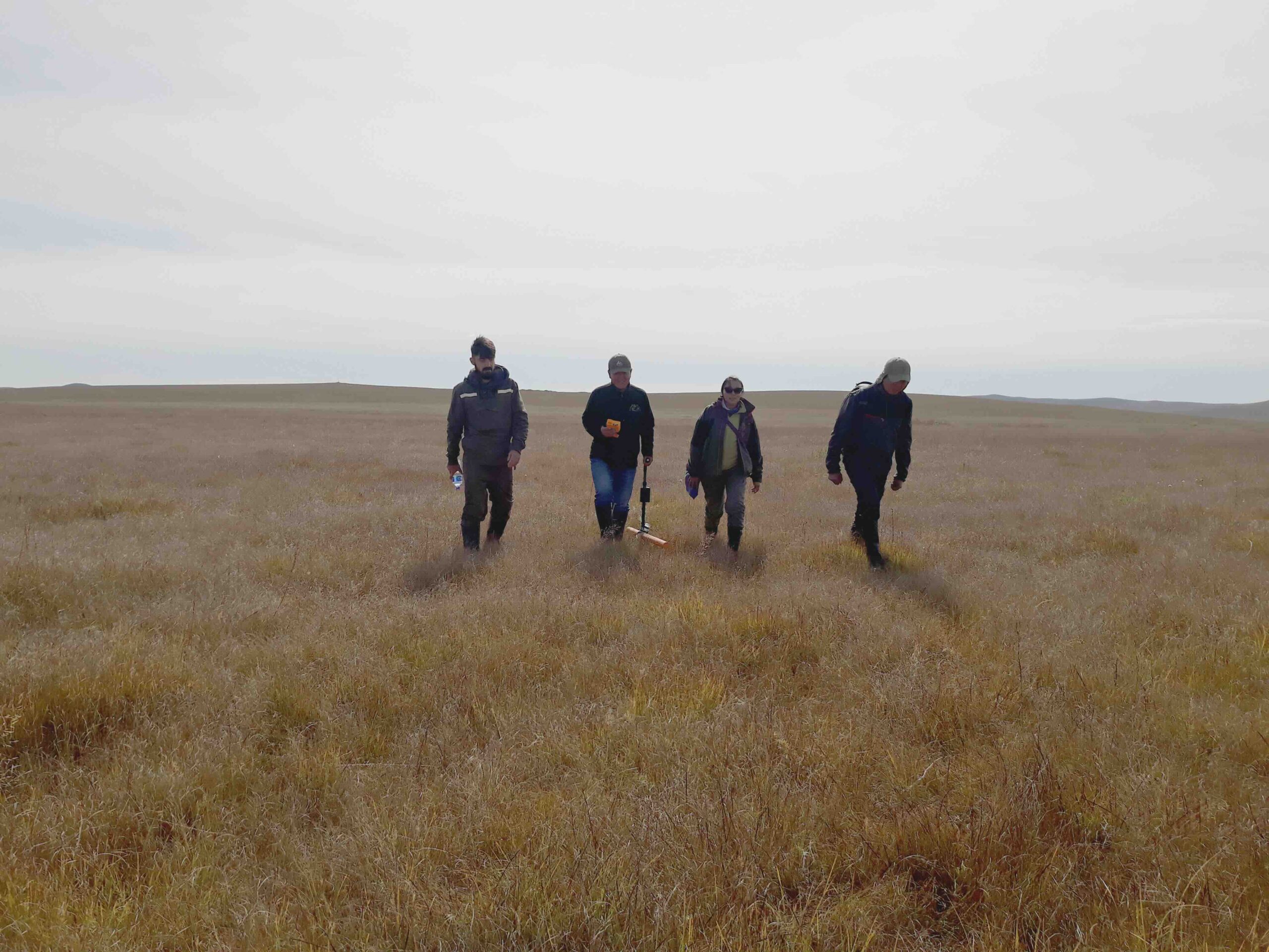
Wouter is a geophysical surveyor with a unique blend of practical skills and scientific rigor. His work involves collecting high-quality data in the field, often in extraordinary locations, requiring creativity and adaptability. This hands-on experience reflects his love for the outdoors and his hobbies like sailing and climbing. After his visit to Svalbard, Wouter developed a strong passion for the Arctic region.
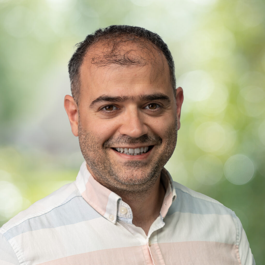
Zafer
With a Master’s in Applied Physics and a strong foundation in hands-on engineering, Zafer plays a key role in transforming concepts into functional applications. As a Product Development Engineer, he contributes to R&D initiatives, developing innovative tools that support geological and agricultural advancements.
