

Mapping Mongolia’s peatlands is key to developing effective strategies for reducing peat degradation and preserving these vital ecosystems. Medusa Explorations provides advice and training for mapping peatlands as part of the Mongolian peat restoration project.

In the high plains of Mongolia, vast landscapes are covered by a shallow layer of peat. This layer acts like a blanket for the permafrost, serving as the insulation between the frozen ground and the warming environment. In summer, it changes from a blanket to a sponge: as the permafrost melts further, healthy peat absorbs the extra water, preventing it from draining away.
However, these areas are facing challenges from overgrazing and imbalanced groundwater usage, which damage the peat layer. This leads to more thawing of the permafrost and further degradation of the peat, releasing more CO₂ into the atmosphere. Over time, this can increase the frequency of droughts and floods across large regions surrounding the high plains.
There’s a real urgency to act: in some peatlands, up to 10 cm of peat is lost each year, meaning that in just 5 to 10 years, nearly all of the peat could disappear in certain areas.
It’s crucial to adjust human activities in these areas. Relatively small interventions can make a significant difference – for example, putting up fences to keep livestock out of certain areas, or providing herders with alternative water sources.
But these measures must be carried out with precision: fencing off the wrong area could cause more harm than good. To make the right decisions, it’s essential to fully understand the hydrology of these regions and peatland mapping is important.
This summer, a new project was launched: the Wildlife Science and Conservation Center of Mongolia (WSCC) will work on peat restoration in Mongolia over the next five years. They’ve brought together experts to tackle this problem effectively, with sponsorship from Greenchoice, a Dutch energy provider.


At Medusa Explorations, we’ve been working for several years in the Netherlands to help better understand peatlands and their hydrology. In the coming years, we’ll provide advice and geophysical training for mapping peatlands as part of the Mongolian peat restoration project.
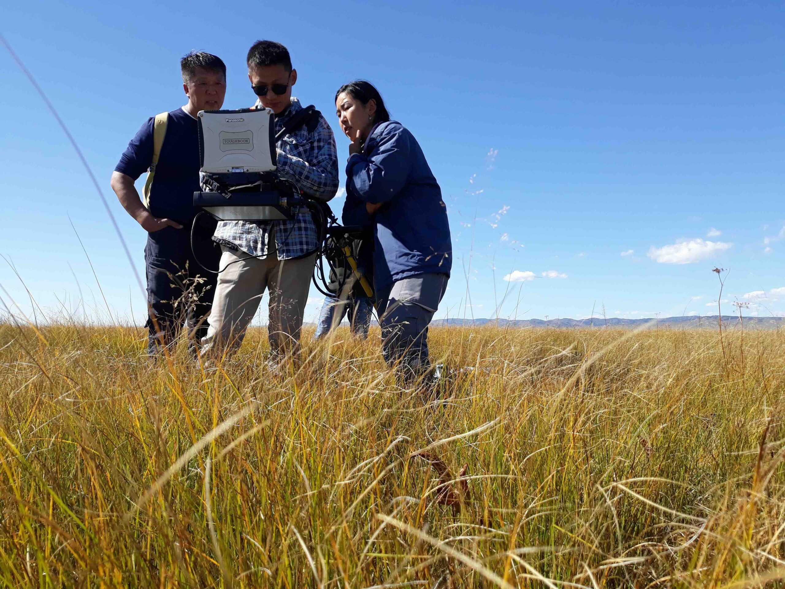
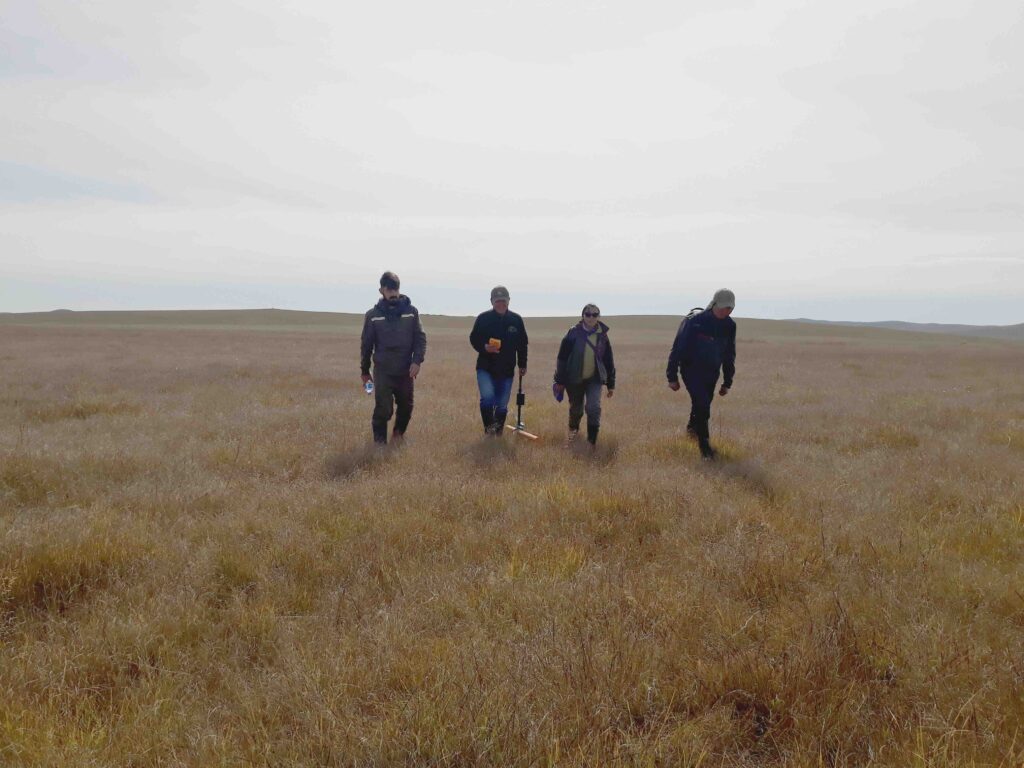
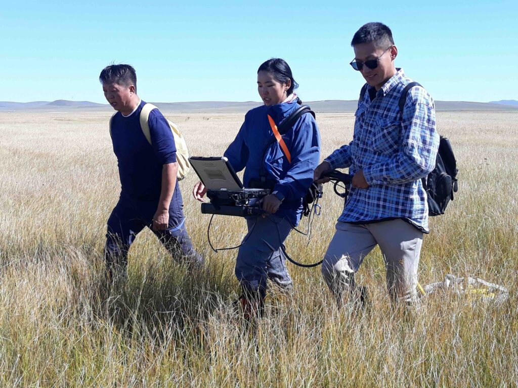
Last September, the research team, along with trainees, went into the field. We mapped several kilometers of cross-sections of peatlands in the Khurkh-Khuiten Valley. Drones captured detailed images and elevation data, ecological factors were measured, greenhouse gas chambers were installed, and we scanned the area with geophysical sensors.
With this data, we’ll assess how much the permafrost still reaches the peat, and we’ll search for suitable freshwater sources to keep the peat hydrated. Later, these findings will be applied to the entire area using satellite images.
This monitoring will continue for several years while measures are put in place to improve the region. Researchers from WSCC and the University of Ulaanbaatar are collaborating with local communities to find sustainable ways to protect these areas without harming the local economy.