

Soil knowledge and understanding of soil conditions are becoming increasingly crucial. At Medusa, we specialise in soil mapping and, under the name Medusa Explorations, we supply detailed soil information to various clients such as governments, business, agriculture, property developers and for scientific research. ‘For example, the issue of climate adaptation is currently relevant’, says Han Limburg. ‘Improved water management and landscape design are at the forefront of this, in which knowledge of soil is essential.’

A second branch of Medusa focuses on the development of measuring equipment and sensors. Under the name Medusa Radiometrics, equipment developed and manufactured in Groningen is shipped worldwide. ‘With both divisions, we have both the knowledge and the technical resources to tackle all soil research issues,’ says Limburg. ‘This goes beyond just measuring; correctly interpreting the data collected is also crucial and forms the basis for making the right decisions.’ Ronald Koomans adds: ‘When making analyses, we like to work together in teams with experts from various disciplines. This way, we can deliver high-quality advice that really benefits our customers.’
In the past we used to dig a hole in the ground to understand the subsurface, today we have modern technologies to map the soil. Medusa was founded more than 20 years ago as a spin-off from the University of Groningen. Limburg and Koomans remember their first assignment well: ‘That was on a boat on the small river De Tjonger, where we went to conduct research.’ This experience still reflects Medusa’s way of working in 2021: pioneering, researching and learning from it. The company has its own R&D department for a reason. ‘This is the incubator for technological developments, which has allowed us to achieve a lead in the market,’ says Limburg. Working on projects in the Netherlands plays an important role in this. ‘By developing a measurement method for a soil question in the Netherlands, we often discover that this application can also provide a solution elsewhere. It’s a combination of science and adventure.’
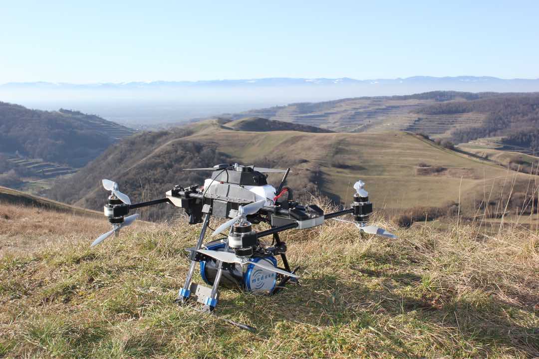
Radioactivity plays an important role in soil mapping. ‘Radioactive substances occur in very low concentrations in soil, and the levels of these substances vary by soil type,’ Limburg explains. ‘This allows us to measure the differences in soil composition.’ The traditional shovel has therefore long been replaced by geophysical measurement techniques such as ground penetrating radar, gamma-ray spectrometry and electromagnetic measurements. Koomans adds, “We produce comprehensive soil maps, both on land and on water. These maps provide a complete understanding of the soil, so clients know exactly what to expect. This leads, for example, to less risk of delays or unnecessary extra work.’
The question of how to retain water longer in the ground is becoming increasingly urgent. ‘The water supply also poses a challenge in the Netherlands. The composition of the soil largely determines whether water can be retained or disappears into the subsoil. With thorough and detailed information about the soil composition, smart solutions can contribute to an adaptive approach to climate change.’
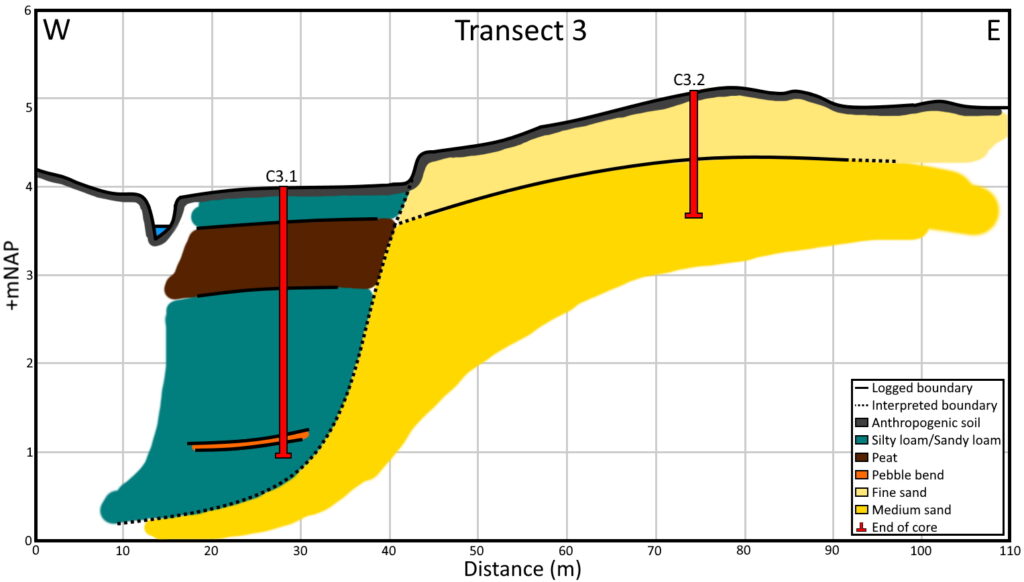
This information is currently essential, and Medusa is involved in several projects in the Netherlands, including the Drentsche Aa area. Koomans explains: ‘We are conducting soil surveys there and with the help of our maps and profiles, plans have been drawn up to intervene in the area. As a result, the waterboard is improving the ecological quality of the stream and we are reducing the desiccation of vulnerable nature in the stream valley. Due to changes in the climate, not only dry periods but also very wet periods will occur more often. That is why our dikes are being reinforced. Soil information is also crucial in these projects. For example, it is important to know how thick the protective clay layer around a dike should be. With our measuring techniques, we map this thickness quick, in detail and efficient.’

The success of our projects in the Netherlands has led to increasing demand from abroad, where Medusa Radiometrics sells its sensors. The Netherlands is a global leader in agricultural land research. ‘In our country, for example, a lot of research is being done on precision agriculture,’ Limburg said. ‘This may be less relevant due to the relatively small plots here, but the results are particularly important for agricultural companies abroad, which have much larger plots.’ The sensors that have proven their worth in the Netherlands are now being exported worldwide.
We want to know more and more about soil because this knowledge can help solve various contemporary issues. ‘At Medusa, we not only have in-depth knowledge of soil, but also of technology,’ says Limburg. ‘That makes us unique in the Netherlands. Providing accurate soil information is essential to making informed decisions, and we provide that. If you want to make changes, it is crucial to do it in the right place. A thorough knowledge of the soil is indispensable for that.’
