Soil mapping
Soil mapping
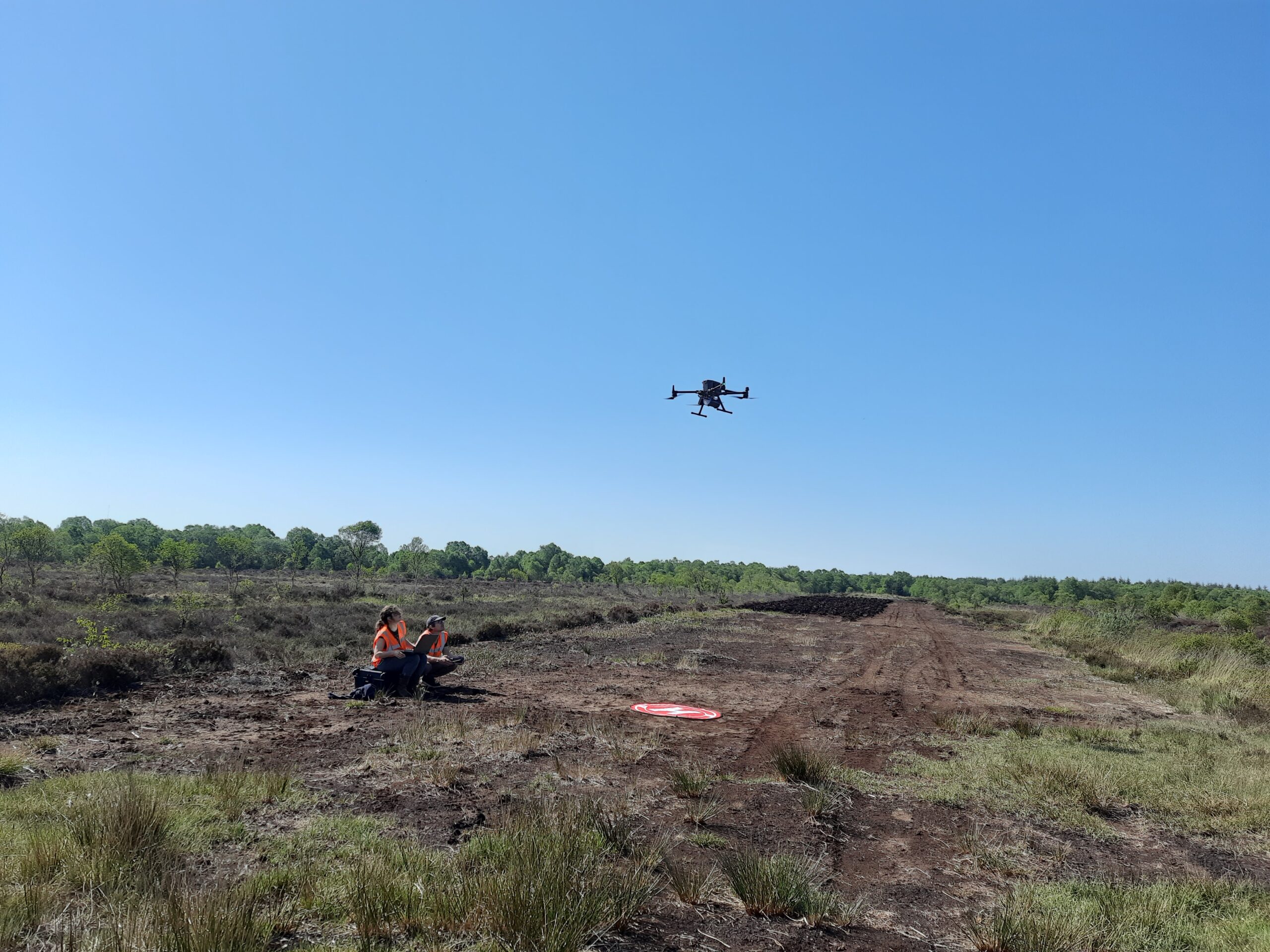
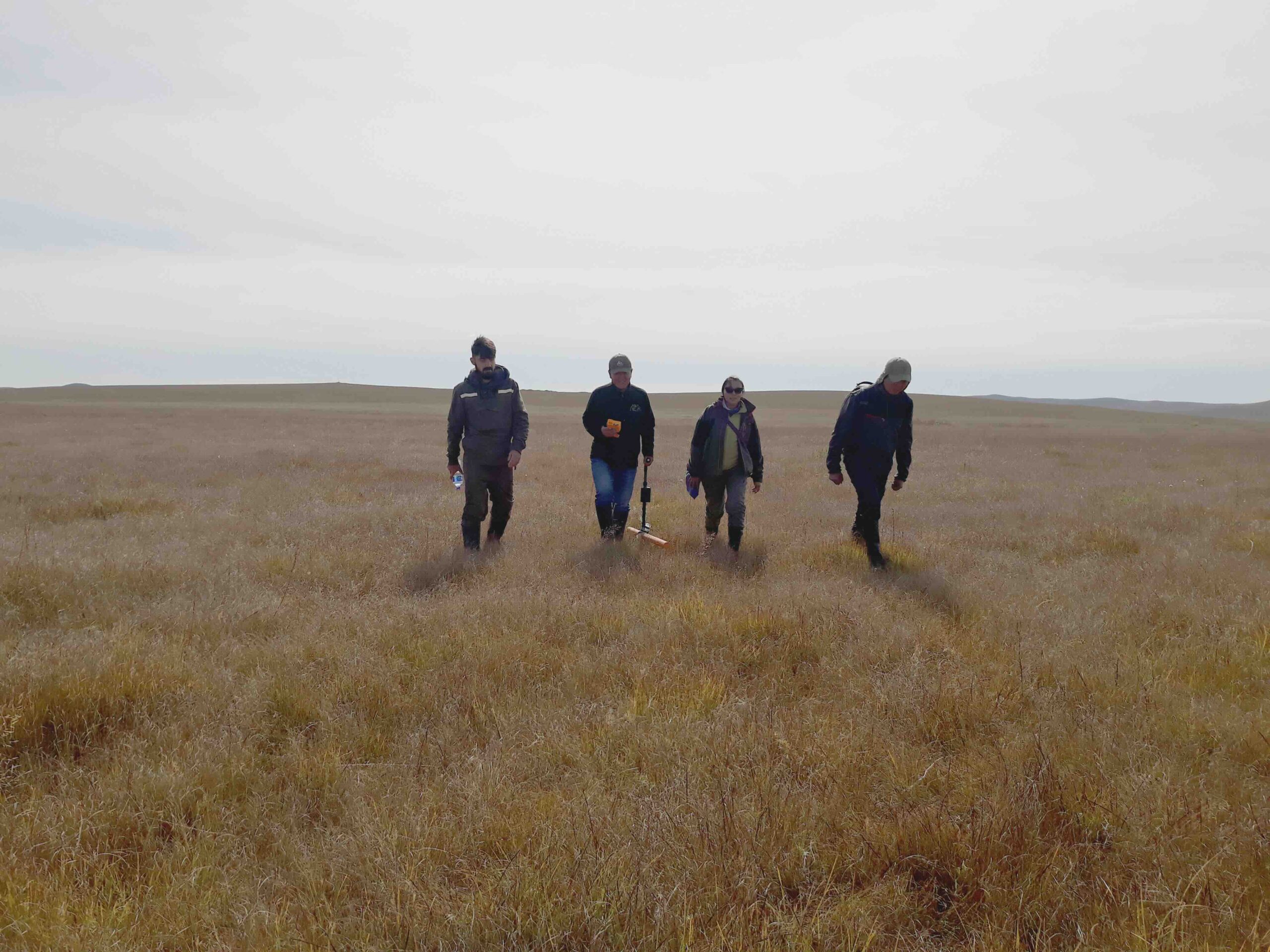
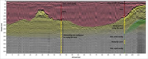
We believe that information on the composition and structure of soil and sediments can be improved. By combining geophysical methods with standard sampling methods, we deliver soil information at an unpreceded detail at high quality. This approach reduces costs, but also promotes efficient work processes while minimizing risks.
Different applications
Detailed information of the subsurface holds relevance across multiple fields. Our geophysical mapping is used for climate adaptation, environmental research, civil engineering, and archaeology.
Climate change
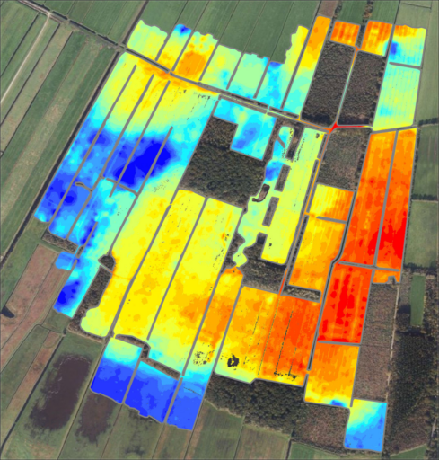
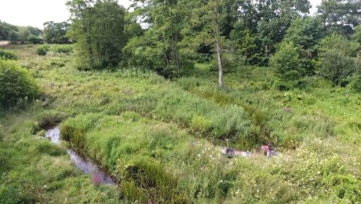
Climate adaptation is increasingly focused on the reorganization of the landscape. In the planning of these processes, the soil and reliable soil information play a pivotal role. For instance, in dike management, identifying the weak links within and beneath the dikes is crucial. Projects for natural development and stream restoration are undertaken to retain water in those areas. Knowledge of the composition and structure of the subsurface is vital for all these projects. Our methods provide rapid and comprehensive maps with this information.
Environmental mapping
Both land and water environments may be contaminated with organic pollutants or heavy metals, posing health risks to the environment.
While many of these critical sites have been addressed in recent years, numerous locations still suffer from contamination. These range from minor spots, like small infill areas, to larger regions such as river floodplains contaminated with dioxins. Addressing these environmental issues requires a clear understanding of the contamination level. Our projects demonstrate how even intricate environmental challenges can be effectively managed through our geophysical mapping solutions.
Civil engineering
Archaeology
Tailored advice
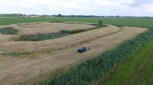
Prior to each project, you want to know what to expect. That is why we map out the scope of the project and the steps that are needed for soil analysis. We analyse the various factors that could impact the project, and we look at soil in a broader perspective and combine various disciplines to provide the most detailed advice possible. Moreover, we provide support in drafting reports and plans to ensure that the project meets all requirements.
Geophysical methods
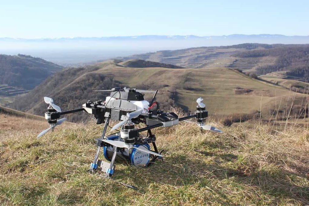
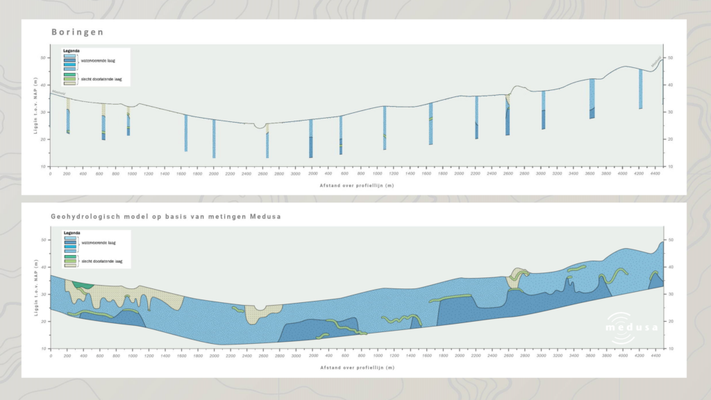
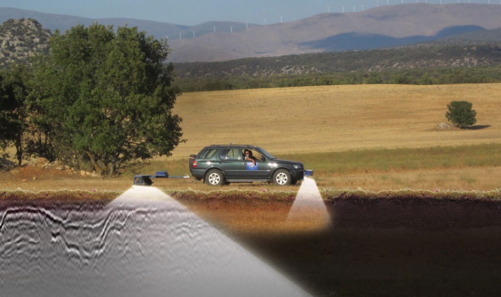
Geophysical methods help to map the subsurface on land and under water, utilizing a broad range of sensing techniques. Depending on the type of project we use various geophysical methods, such as:
- gamma-ray spectrometer
- density meter (rhoC)
- elektromagnetic meter (EMI)
- ground-penetrating radar
- sub-bottom profiler
- magnetometer
Understanding earth better
At Medusa Explorations, we’re committed to offering the expertise you require. Curious about how we can assist you? Reach out to us and explore the ways we can help.

Consultancy
Are you seeking guidance on soil mapping? We offer expert advice and solutions in geoscience with a practical approach: making scientific knowledge available to the geo-related industry.

Soil mapping
We believe that information on the composition and structure of soil and sediments can be improved.

Wiki
Our mission: to make scientific knowledge from the nuclear industry available to the geo-related industry.


