
Radiation Measurements published our review of field gamma-ray spectrometry in its special issue on scintillator applications. The paper covers roughly seventy years of taking gamma detectors outdoors: what works, what has changed, and where the technique is heading.
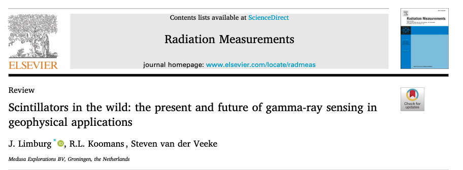
In brief: gamma-ray spectrometry has grown from a specialised exploration method into a widely accessible sensing tool for geophysical and environmental work. Not because the physics changed, but because three conditions are now met at the same time.
Miss any one of the three and you are left with a nice map of counts that nobody can act on.
Sodium iodide has been the reference material since the 1950s. It combines high light yield with a well established supply chain, and NaI-based systems continue to deliver good work in surveys worldwide. Its known limitations are that it is brittle and hygroscopic, which is why NaI detectors are hermetically sealed: moisture reaching the crystal reduces optical clarity, and with it light output and stability.
Newer materials shift the balance in different directions. To quantify that, we ran Monte Carlo simulations of several detector types.
The earliest field spectrometers derived concentrations from count rates in three narrow windows around the potassium, uranium and thorium photopeaks. The approach is computationally simple and has served the industry well, though it uses under ten percent of the information contained in a spectrum. Full Spectrum Analysis fits the entire measured spectrum against calibrated standard spectra, and Hendriks and co-workers demonstrated in 2001 that this reduces uncertainties by a factor of two to three, with the largest gain on uranium.
Calibration remains the harder half of the problem. The paper describes how Monte Carlo radiation transport modelling extends what a physical calibration facility can offer and how the Stonehenge calibration setup at our laboratory in Groningen fits in that process.
Radionuclide maps are rarely the end product. Farmers want clay content and soil moisture, water authorities want contamination levels, contractors want peat thickness. The application model performs that translation. The paper shows several case studies for mapping soil composition, contamination, peat thickness and mineral mapping.
The full paper is available in Radiation Measurements 195 (2026).
Limburg, J., Koomans, R.L., van der Veeke, S. (2026). Scintillators in the wild: the present and future of gamma-ray sensing in geophysical applications. Radiation Measurements 195, 107684. https://doi.org/10.1016/j.radmeas.2026.107684
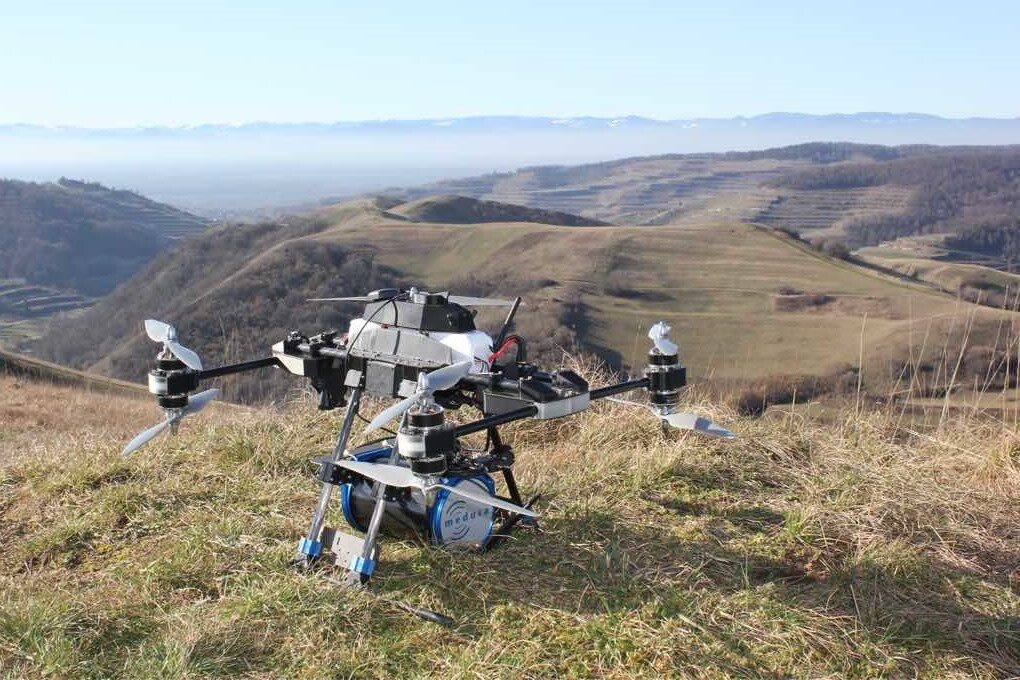
At Medusa Explorations we specialize in soil investigations and provide detailed soil information to clients.
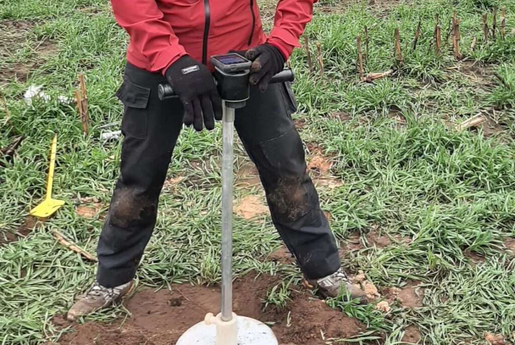
With RhoC, the new soil density meter, soil density can now be measured in a fraction of the time.
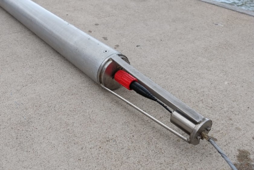
Medusa gamma spectrometers are used worldwide for mapping soil and waterbeds. Read more here.
- Consultancy
- Blog
- About us
- Contact