Medusa Explorations

Understanding earth better

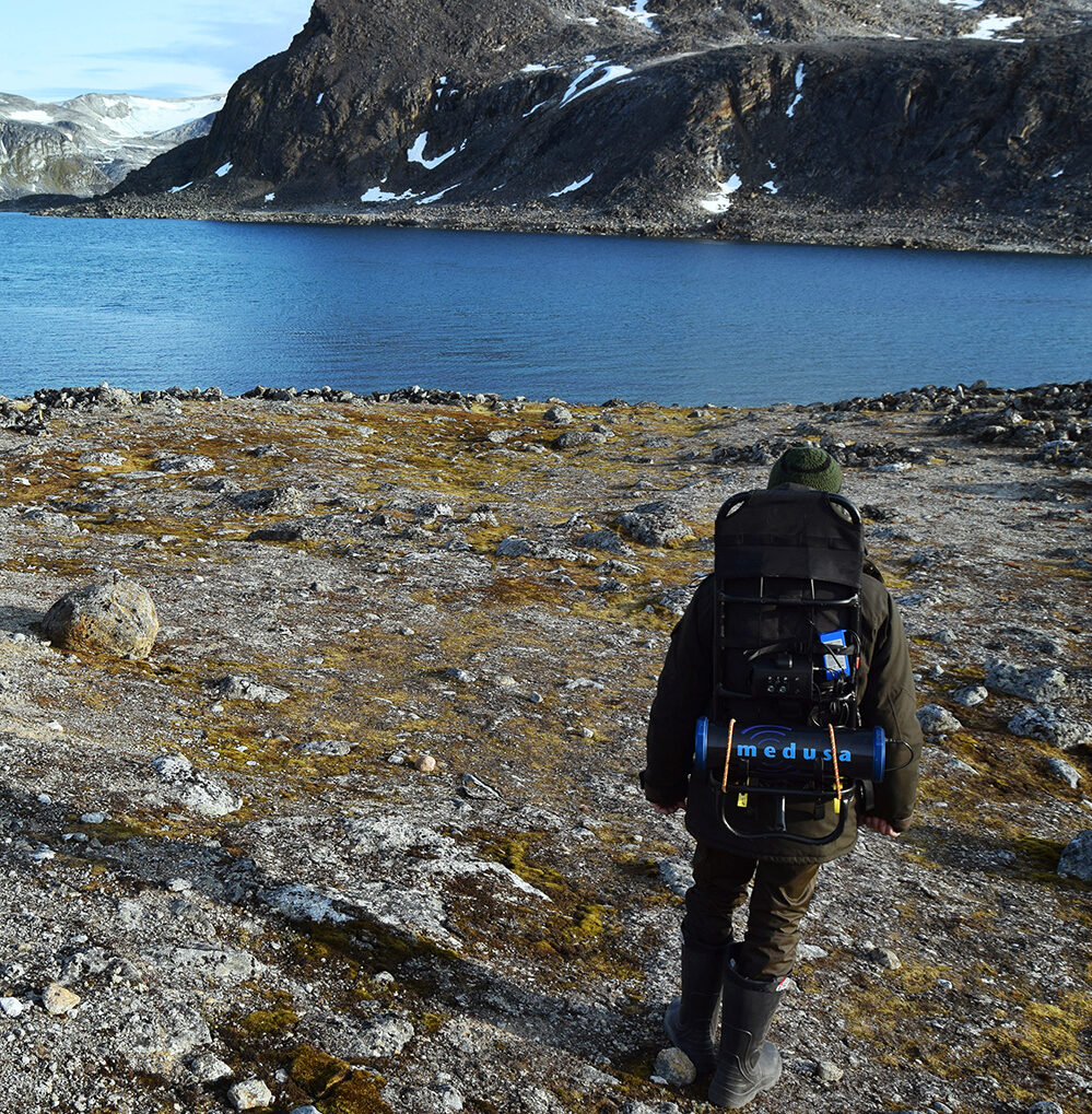
Are you seeking guidance on soil mapping? We offer expert advice and solutions in geoscience with a practical approach: making scientific knowledge available to the geo-related industry. 

We believe that information on the composition and structure of soil and sediments can be improved. By combining geophysical methods with standard sampling methods, we deliver soil information at an unpreceded detail at high quality. 

Our mission: to make scientific knowledge from the nuclear industry available to the geo-related industry.

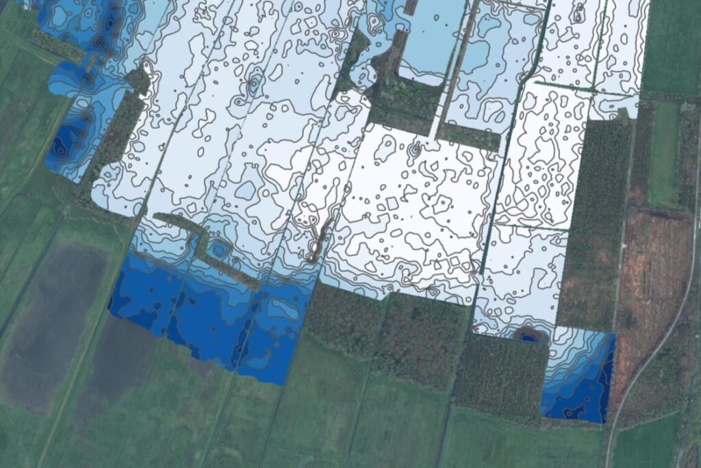
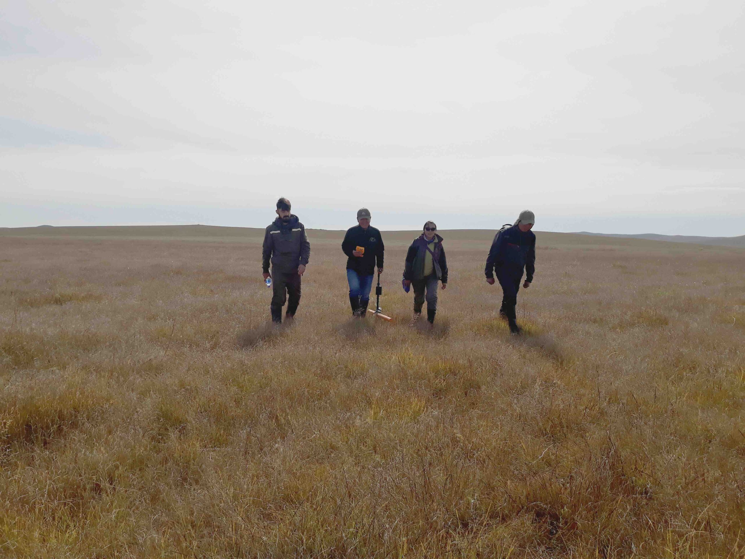
Mapping to Fight Peat Degradation in Mongolia

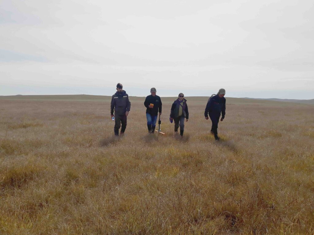
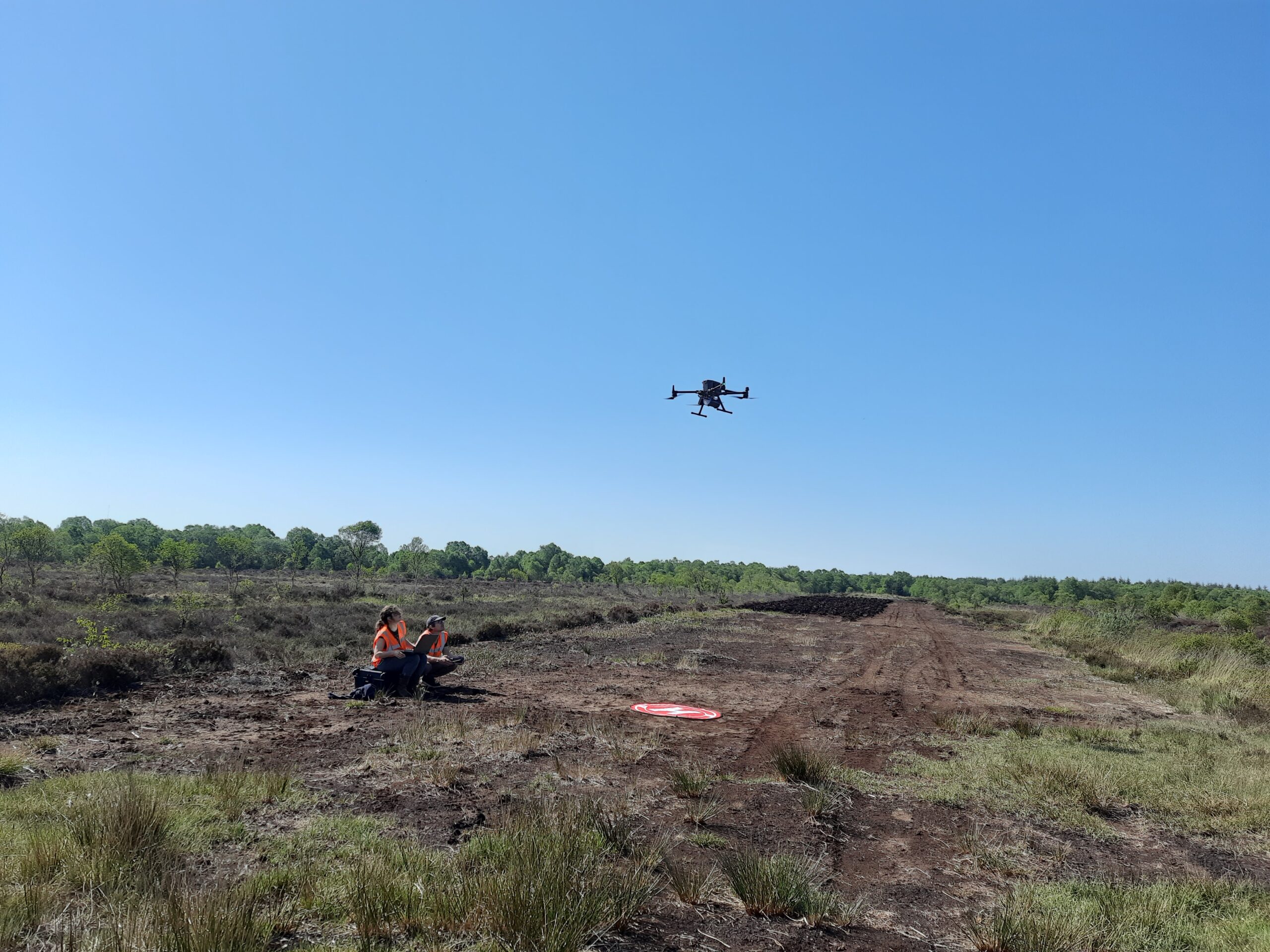
Mappingpeatlands is key to develop effective strategies for reducing peat degradation and preserving these vital ecosystems. Medusa Explorations provides advice and training for mapping peatlands.

Lees verder

Leading and comprehensive in soil research

At Medusa Explorations we specialize in soil investigations and provide detailed soil information to clients.

Lees verder

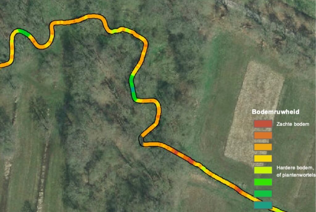
Stream restoration through soil elevation

In the Drentsche Aa we have worked on stream restoration by means of soil elevation. Want to know more? Read more!

Lees verder

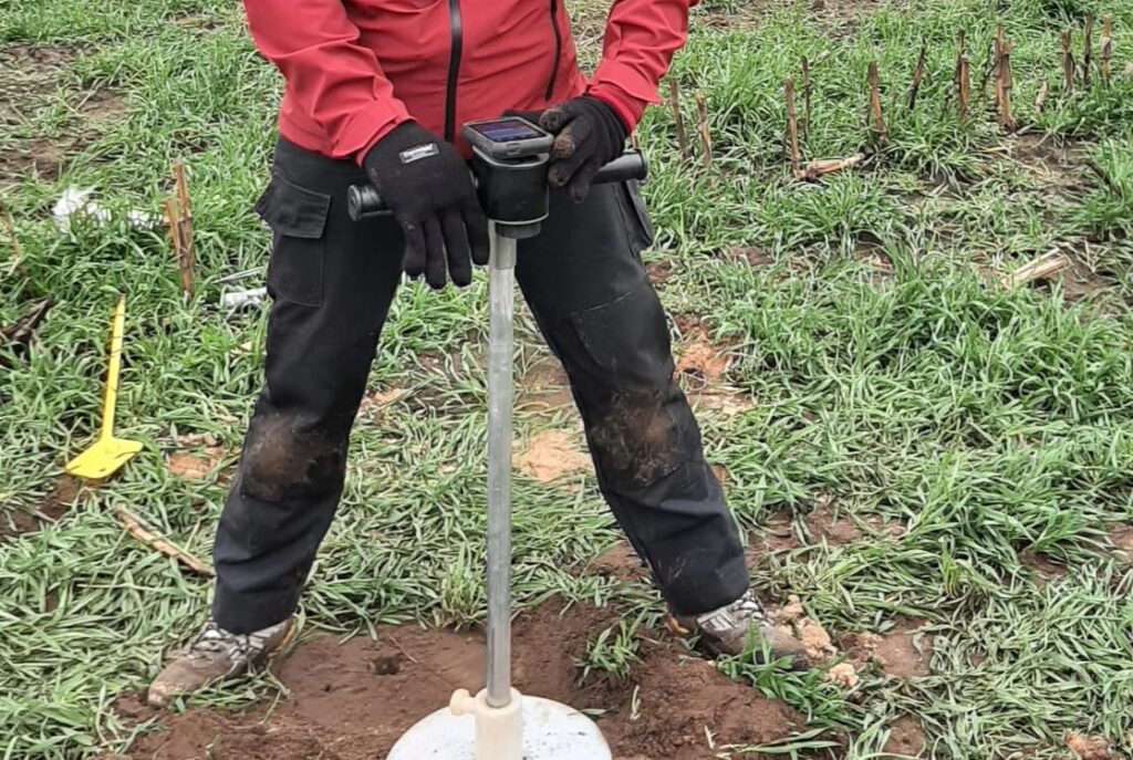
RhoC: the new soil density meter

With RhoC, the new soil density meter, soil density can now be measured in a fraction of the time.

Lees verder

Soil information for climate adaptation

Due to climate change, precipitation increases and water management in the Netherlands changes.

Lees verder

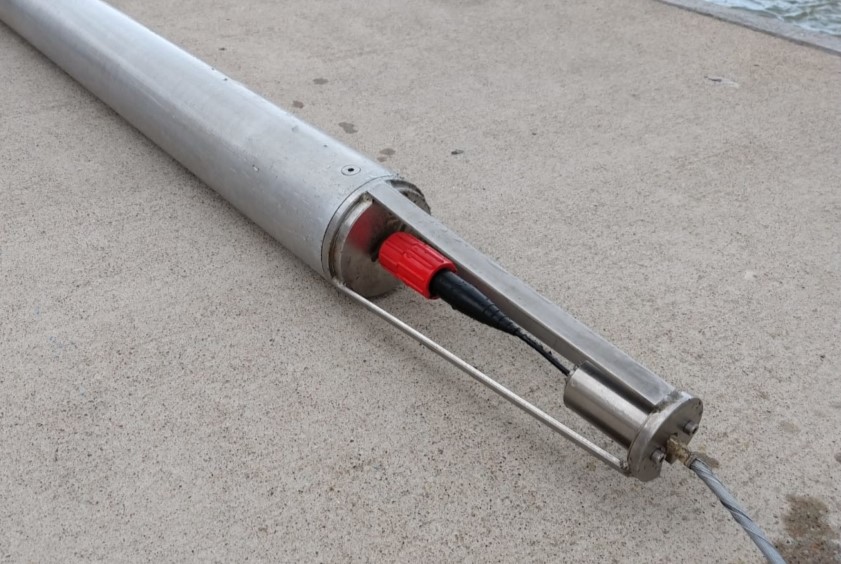
A new sensor for mapping sediment

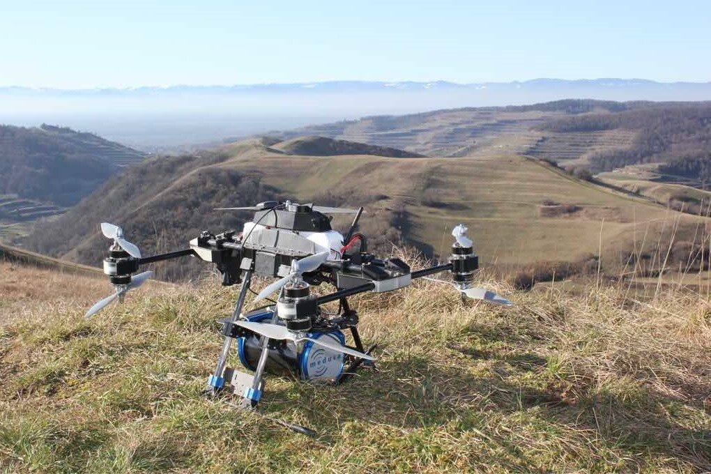
Medusa gamma spectrometers are used worldwide for mapping soil and waterbeds. Read more here.

Lees verder

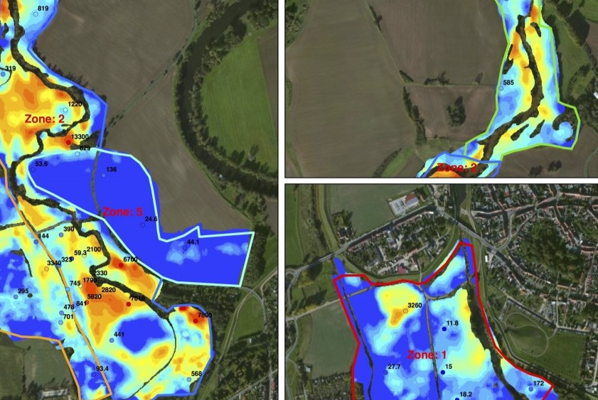
Detailed map dioxin contamination

For decades, wastewater from the chemical industry at the mega-site Bitterfeld-Wolfen has been discharged into the Elbe.

Lees verder

What exactly lies beneath our feet, is often unclear.

Only by combining existing knowledge with innovative methods, developing new methods, and conducting new approaches, we can truly understand earth. Both as our home planet and as the ground that supports us. 

Our soil information ensures a comprehensive understanding of earth, enabling interventions in the subsurface to be carried out with fewer risks.